
 |
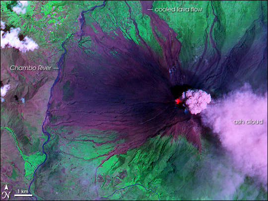
Tungurahua
volcano awoke in 1999, producing episodes of explosive activity and
pyroclastic flows, and threatening communities on the lower flanks.
In Aug 2006, six villagers were killed by a pyroclastic flow
which swept through several towns. NASA Earth Observatory feature MTU Notables report |
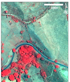 |
This QuickBird (Digital Globe)
imagery near |
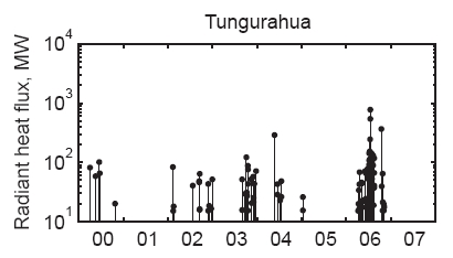 |
Radiant
heat flux data from satellites provides a means to remotely track the
level of activity at volcanoes. Here, radiant heat flux is
calculated from MODVOLC-MODIS satellite data courtesy of Hawaii
Institute of Geophysics
and Planetology, University of Hawaii (modis.higp.hawaii.edu). Ecuador volcano heat flux |
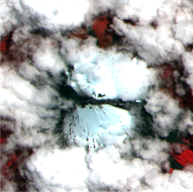 |
Sangay
is a relatively remote volcano in the Ecuador, but one of the most
active in the country. ASTER
data
show ash draping the summit
snow cover and apparent lahars - primarily to the east and west - that
presumably reflect melting of snow and ice by eruptive products. ASTER imagery over Sangay |