Remote sensing for hazard mitigation and resource protection in Pacific Latin America

Volcanic hazards in Central America and the Northern Andes
A gallery of remote sensing imagery
Text place holder: Integrated analysis of a wide range of eruption parameters is essential for understanding the source processes controlling variations in eruption style and intensity.  In this study, we imaged 80 ash-rich eruptions at Stromboli volcano with a thermal video camera (FLIR, or Forward Looking Infrared Radiometer) and collected corresponding infrasound and seismicity.     


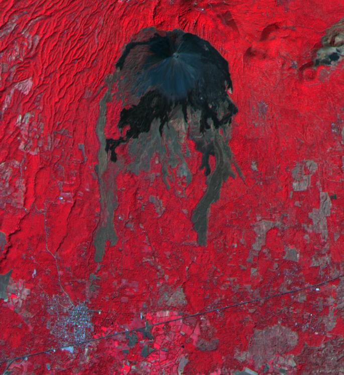
Lava flows from Izalco volcano

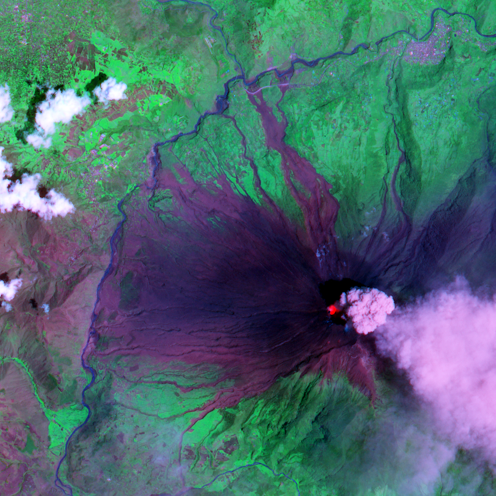
Pyroclastic flows from Tungurahua
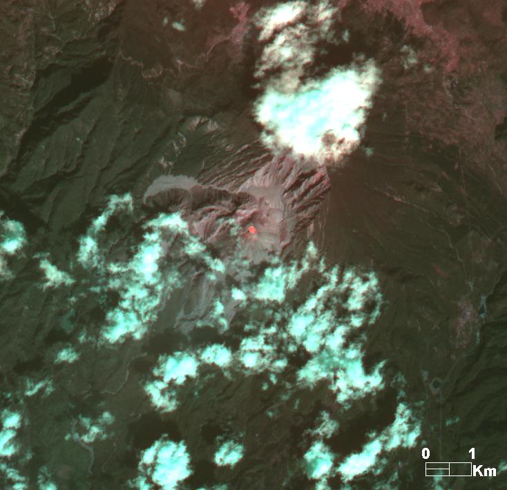
Tungurahua


Questions about the project or website?  Email John Gierke or Matt Patrick

For student opportunties in this project, go to the project webpage or the Peace Corps-Masters International page.