Reading the Rock
Jacobsville Environment
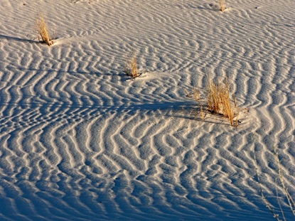
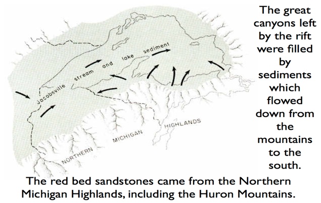
The Jacobsville Sandstone is interpreted as a fluvial continental sandstone, formed from the flow of rivers over the landscape, flowing from mountains which were found to the south and east of the Keweenaw, into the basin that had formed from the great Keweenaw rift. Since there was no vegetation on the surface, the rivers could erode and deposit more freely and they made channeled surface similar to what we find now in deserts or high latitude (Arctic or Antarctic) environments. There is a Greek word “anastomosing” which describes the shapes of riverbeds that formed.
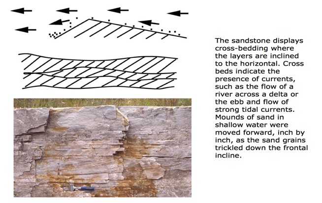
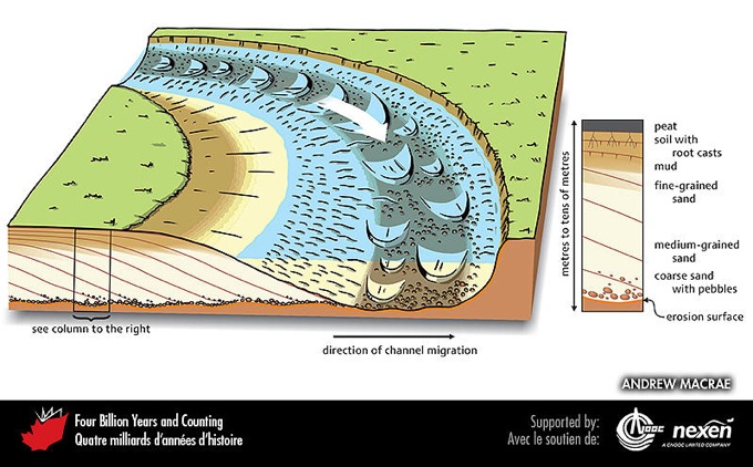
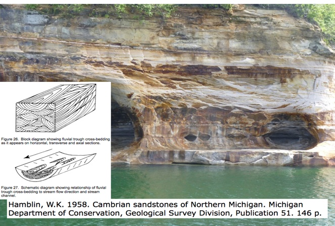
In the diagram above a 3D block of crossbedded sandstone is drawn to demonstrate how we can interpret current directions. In the photo, crossbedded channels within the Munising Formation at Pictured Rocks National Lakeshore is shown. Below we see another #D visualization of channel features within a modern stream channel, from Andrew MacRae.
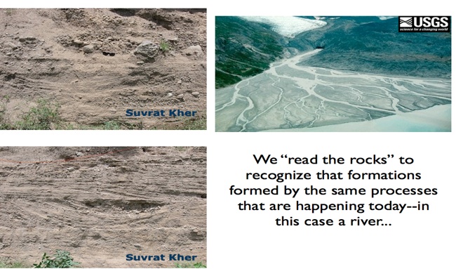
Sedimentary rocks record information about their environment of formation. Because they are made up of fragments of other rocks, the pattern of the arrangement, their shapes, sorting and layering is highly interpretive and many geologists make a living doing this interpretation. Companies pay high salaries for doing this imaginative work.
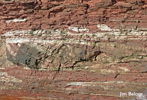
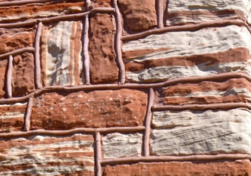
In this photo we can see a channel with cross bedding, preserved within the Jacobsville. This kind of exposure might let us infer the direction of sediment transport.
We can interpret the conditions of formation of sedimentary rocks by describing very carefully what features we observe in them. This is what we call “reading the rocks”.