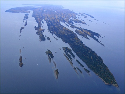
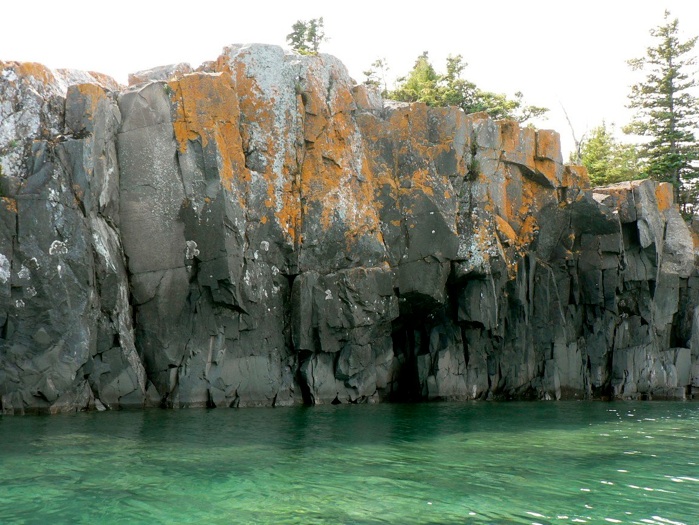
This field guide aims to give anyone interested in geology and Isle Royale an interpretation of things that can be seen outside in this unique National Park. We try to avoid jargon, in spite of some of the words above on this page. Each part of the Earth’s surface offers part of the evidence of past events for us to interpret. On Isle Royale we see rocks which reflect Earth about 1.1 Billion years ago, and we can interpret what this rock record means. These interpretations are speculative and they evolve constantly, reflecting new observations. This field guide is an update of a guide from 1994. One very important source is a geologic map done by N. King Huber of the US Geological Survey. On this geologic map of Isle Royale, this geologic map (see Welcome page) the western part is mostly tan, and the eastern part is mostly green. The colors reflect glacial outwash gravels and moraines that mostly bury the bedrock in the west, while those materials are absent in the east. Because of our interest in the rift lavas, this trip focuses on the eastern part of Isle Royale, which has only minimal glacial cover, although we do pass through Washington Harbor and part of the western portion.


Blake Pt
Tobin
Harbor
Rock Harbor
Amygdaloid I
Raspberry I


Isle Royale has remarkably few visitors, especially considering that it is a national park and is, for many people, within a couple of days travel. This lack of tourism can be explained partially by the park's island location and by the fact that a trip to Isle Royale seems to require a deeper commitment, of both time and money, than other vacations might require. But the very people whom you would most expect to want to visit Isle Royale don't go.
When you compare the popularity of various national parks, the public's avoidance of Isle Royale is obvious, perhaps even more obvious to me because of my position. As a professor at Michigan Technological University for more than 40 years, I have had direct contact with hundreds of ecologically-minded students, many of them geology majors, who are committed to the outdoors and to field experiences. However, very few of these students go to the park, even though they live for years in Houghton, MI, which is the home of the Ranger III, one of the principal transporters of visitors to and from Isle Royale. Likewise, many of the geologists I have known have visited all of the geological sites around Lake Superior and the other Great Lakes, but only a few of them have been to Isle Royale. This is a remarkable contradiction, something I'm at a loss to explain. It seems to attest to America's addiction to the automobile; maybe people just can't stomach the thought of being separated from their car for a few days!
At any rate, I hope that this guide and its website (http://www.geo.mtu.edu/~raman/SilverI/IRKeweenawRift) will encourage more geologists, as well as other people, to visit the park. Besides the fact that Isle Royale has outstanding geological sites, a trip there can be made at moderate expense, and the park offers comfortable facilities and logistics that most geologists would find agreeable. I recommend taking a week to visit and using kayak, canoe or motor boat (bring along or rent from the park concession) to allow access to the many wave-washed outcrops.
Bill Rose May 2013

